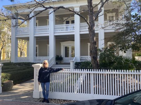
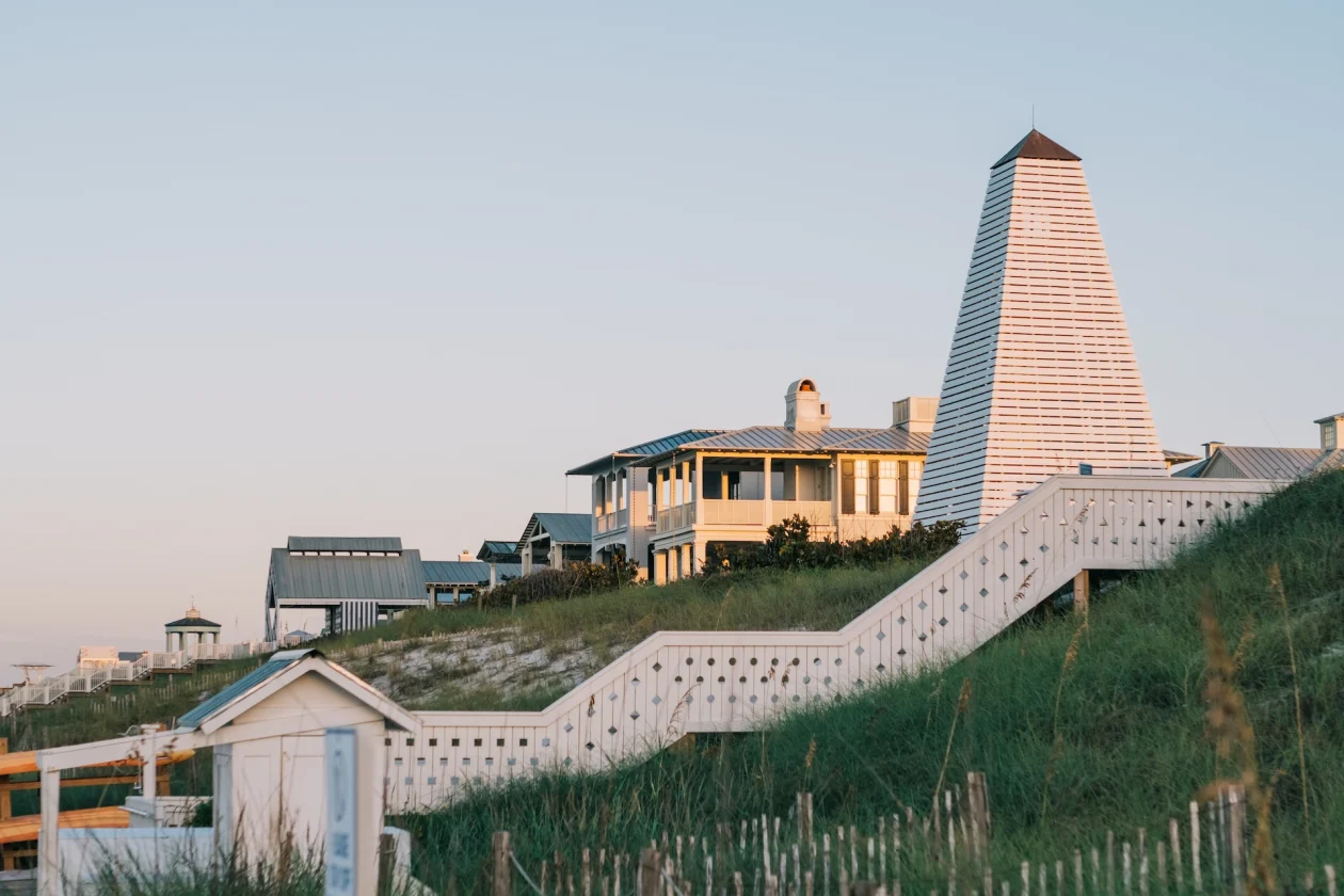
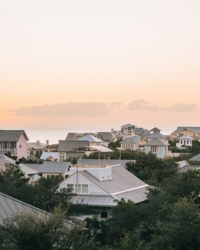
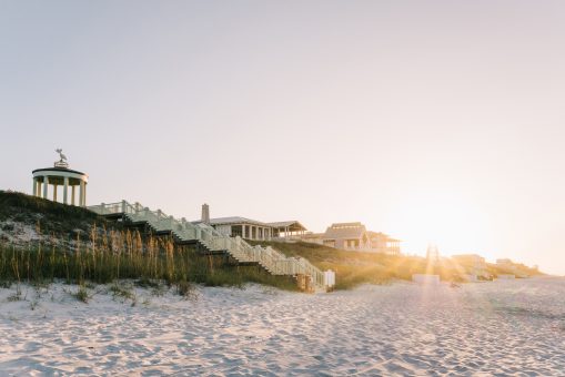
New Urbanism Seaside Stories Seaside, Florida Pioneer Reflects on the Beginning of the Town Apr 25, 2024
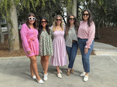
Pickle's Sandbar SEASIDE Meet the Marketing Team: The Faces Behind Seaside, Florida’s Social Media Apr 12, 2024
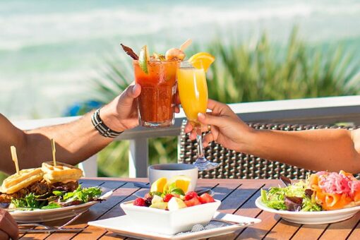
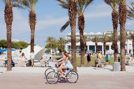
30A EATS BLACK BEAR BREAD COMPANY Bud & Alley's GREAT SOUTHERN CAFÉ PICKLE’S BURGERS & SHAKES THE GREAT SOUTHERN CAFÉ THE SEASIDE TIMES Wild Bills Beach Dogs Seaside’s Best Breakfast Foods, From Great Southern to Black Bear Apr 02, 2024
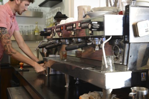
AMAVIDA COFFEE & TEA AMAVIDA COFFEE Merchants Amavida Coffee Named Finalist in 2024 Specialty Coffee Association Sustainability Awards Mar 13, 2024
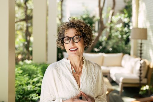
SEASIDE DARYL DAVIS INTERNATIONAL WOMEN'S DAY Celebrating International Women’s Day With Seaside’s Co-Founder Daryl Rose Davis Mar 08, 2024