DAWSON’S YOGURT & FUDGEWORKS
PICKLE’S BURGERS & SHAKES
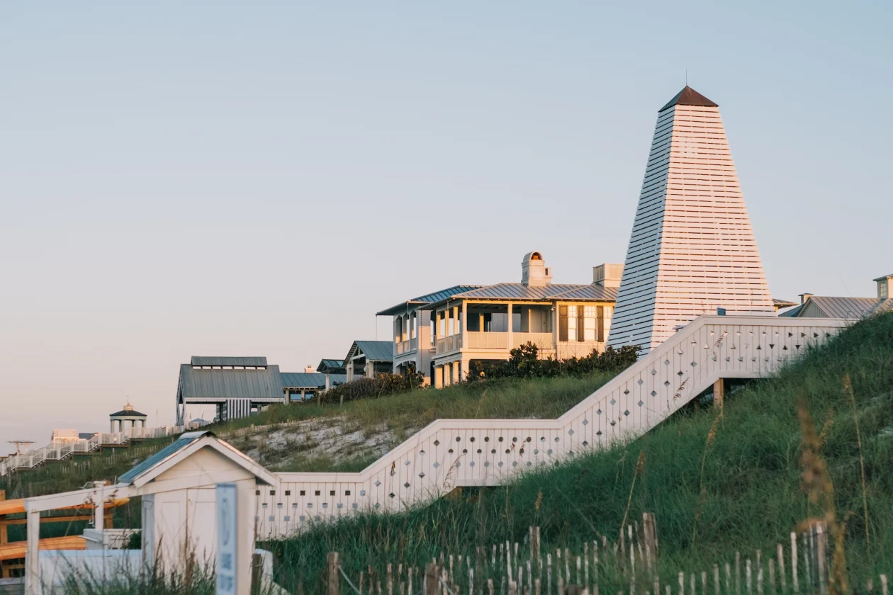
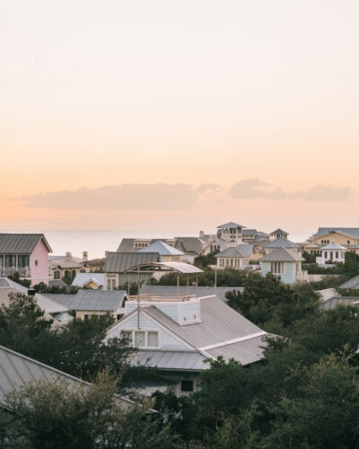
SEASIDE
Shrimp Shack
THE SHRIMP SHACK
Wild Bills Beach Dogs

Oct 07, 2024
Aug 06, 2024

Jul 22, 2024